Photo:
©
Kake
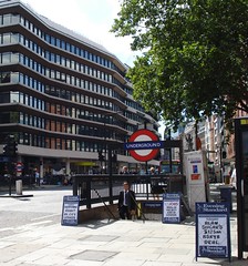
Historical version 4 of Chancery Lane Station (view current version)
-
(streetmap)
(osm)
(gmap)
(bingmap)
(streetview)
Zone 1 Tube station on the Central Line.
GPS data collected by Kake on a Garmin eTrex, 9 March 2007, and released into the public domain: OSGB 531155, 181620, on the corner of the pavement behind the northeast entrance.
OS X co-ord:
531153
OS Y co-ord:
181632
(Latitude:
51.517881
Longitude:
-0.109536)